Select Item below to DOWNLOAD - Once item is selected, right click and choose 'save as'
2cb77f15-8a47-420d-bbd9-dc8a0301c69d
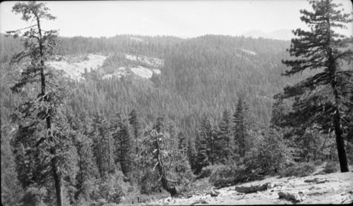
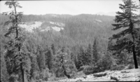
MIxed Conifer Forest Plant Community, Misc. Domes, Sunset Rock, Type Map.
SEKI Historic Image
MIxed Conifer Forest Plant Community, Misc. Domes, Sunset Rock, Type Map.
National Park Service
R.D. Roseberry, 361009, Near Colony Peak, SNP, MIxed Conifer Forest Plant Community, Misc. Domes, Sunset Rock, Type Map.
Permission must be secured from the individual copyright owners to reproduce any copyrighted materials contained within this website. Digital assets without any copyright restrictions are public domain.
Public domain
Image
Near Colony Peak, Tulare County, California
10/09/1936
option 1
Tuesday, January 10, 2017 12:59:56 PM
Tuesday, January 10, 2017 12:59:56 PM
08251.tif
Monday, January 1, 0001 12:00:00 AM
tif
13.5 MB
Scenic
,
Historic