Select Item below to DOWNLOAD - Once item is selected, right click and choose 'save as'
2c888daa00dc4eb983574e3ca0a94e37
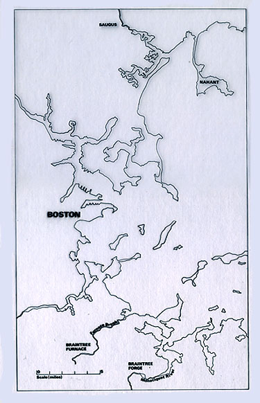
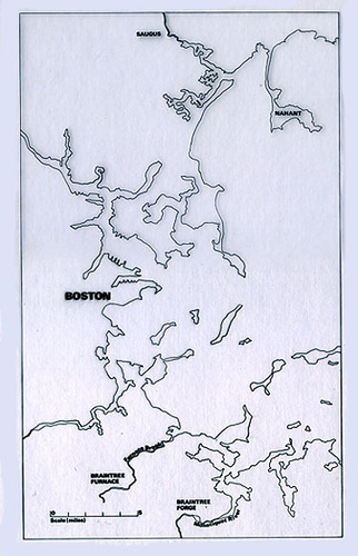
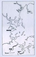
Map of Massachusetts and the Boston area showing the location of Saugus.
Map of Massachusetts and the Boston area showing the location of Saugus.
Abbr=EX
U.S. National Park Service
Reflective Art
Government owns art and all reproduction rights.
Public domain
Image
Saugus Iron Works National Historic Site, Code: SAIR
Saugus Iron Works National Historic Site, Essex County, Massachusetts
Latitude: 42.4684982299805, Longitude: -71.0072021484375
Latitude: 42.4684982299805, Longitude: -71.0072021484375
Image Management System : IMS 09323
20190904
J14
Public Can View
Organization: Harpers Ferry Center
Address: Harpers Ferry Center, 67 Mather Place, Harpers Ferry, WV, 25425, 304-535-5050
Address: Harpers Ferry Center, 67 Mather Place, Harpers Ferry, WV, 25425, 304-535-5050
Monday, October 7, 2019 2:36:34 PM
Monday, October 7, 2019 2:36:34 PM
09323.jpg
jpg
60.3 kB
Museum