Select Item below to DOWNLOAD - Once item is selected, right click and choose 'save as'
2c5079d0-0b14-4a8c-8ade-71e28f7b4e62
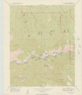
El Portal Quadrangle Road Classification
El Portal Quadrangle Road Classification
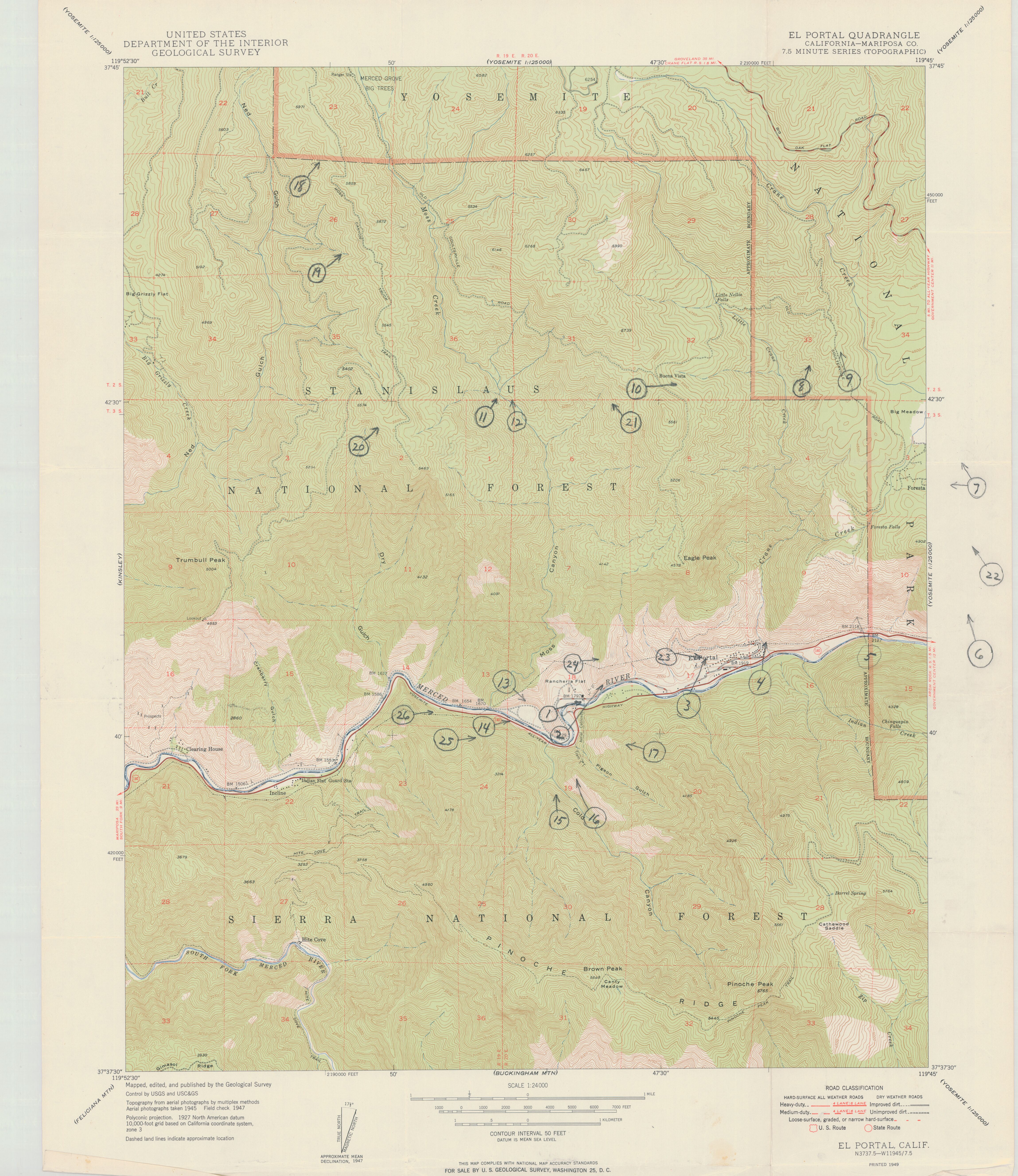
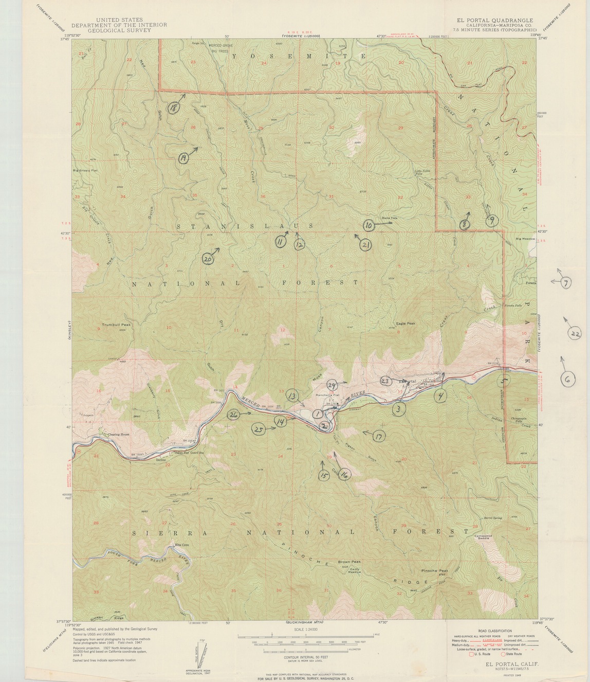
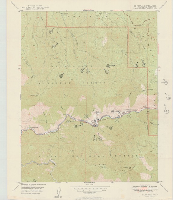
Topographic map of the El Portal Quadrangle with areas around road and in the Stanislaus and Sierra National Forests numbered
Item Number: YOSEAR000775C; AlternateId: 1002-007-F0190.2
Contact Yosemite National Park for more copyright information and use
Public domain:This digital asset is in the public domain. When using this asset for any purpose, including online, credit:'Courtesy U.S. National Parks'
Image
Yosemite National Park, Code: YOSE
Yosemite National Park, California
Latitude: 37.8399200439453, Longitude: -119.540397644043
Latitude: 37.8399200439453, Longitude: -119.540397644043
1949
01/01/1949 - 12/30/1949
Type: paper; Dimensions: 27 x 22; Condition: good
YOSE Location: E2 DR5 F2
Public Can View
Person: Archivist
Organization: US National Park Service
Address: Yosemite National Park Archives, PO Box 700-W, El Portal, CA 95318
Email: yose_archives@nps.gov
Organization: US National Park Service
Address: Yosemite National Park Archives, PO Box 700-W, El Portal, CA 95318
Email: yose_archives@nps.gov
Monday, July 25, 2022 9:53:28 PM
Monday, July 25, 2022 9:53:28 PM
YOSEAR000775C.tif
tif
51.6 MB
Scenic
,
Map