Select Item below to DOWNLOAD - Once item is selected, right click and choose 'save as'


2bb0b871-bbcc-4e02-aa2b-90140e492f90
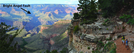
Bright Angel Trail
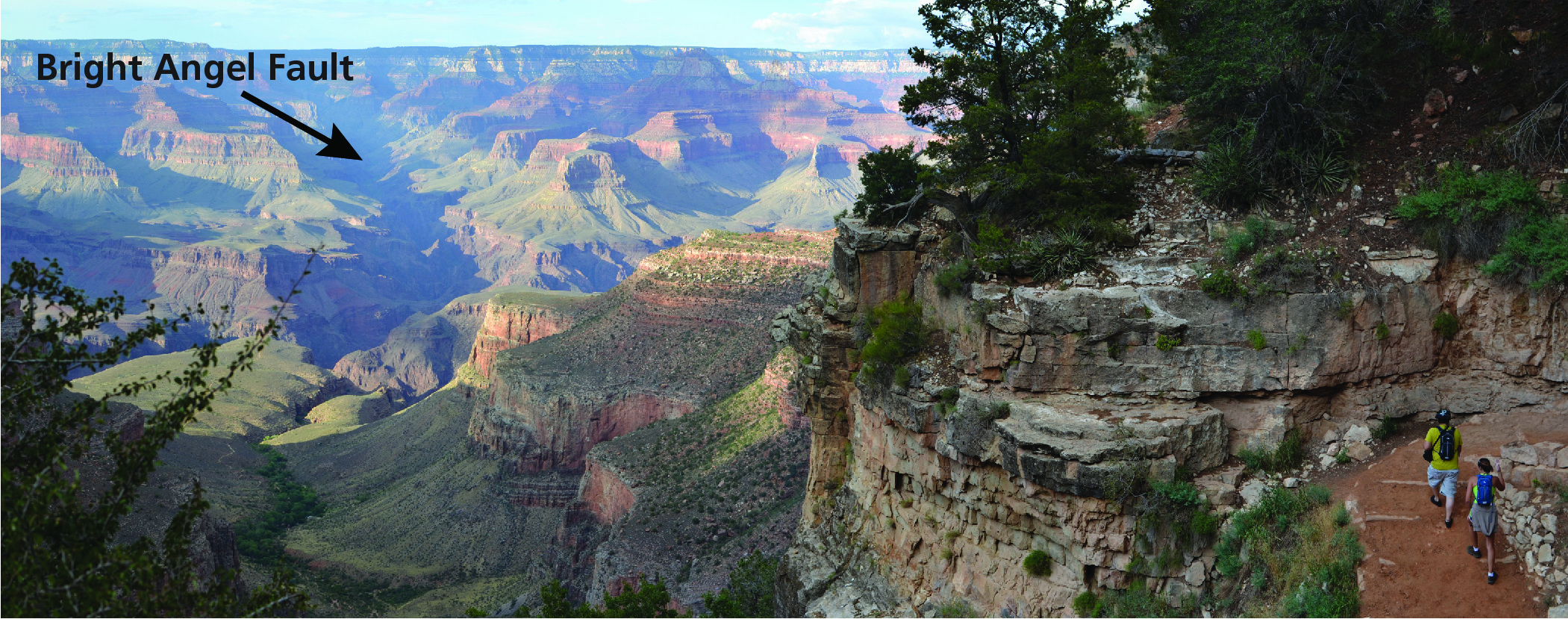
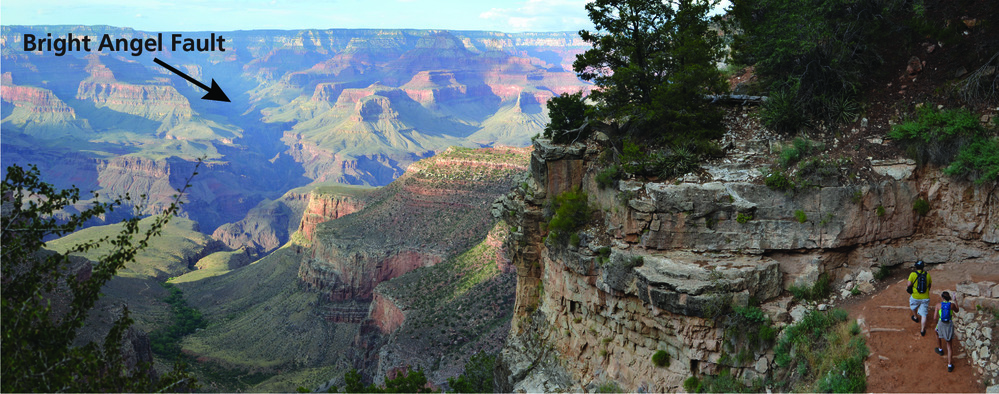
Photograph of the Bright Angel Canyon and Bright Angel Trail.
The Bright Angel Fault (arrow) is responsible for Bright Angel Canyon. Strata on the west wall of the fault (left side of the photograph) are about 50 m (150 ft) higher than the strata on the east side. Hikers (lower right) on this part of the trail are between the first and second tunnels from the trailhead.
Permission must be secured from the individual copyright owners to reproduce any copyrighted materials contained within this website. Digital assets without any copyright restrictions are public domain.
NPS photo by Michael Quinn
Public domain:Full Granting Rights
Image
Grand Canyon National Park, Code: GRCA
Grand Canyon National Park, Arizona
Latitude: 36.3291397094727, Longitude: -112.790603637695
Latitude: 36.3291397094727, Longitude: -112.790603637695
01/01/0001
Public Can View
Friday, June 4, 2021 2:25:50 PM
Friday, June 4, 2021 2:25:50 PM
GRCA_14.jpg
Monday, January 1, 0001 12:00:00 AM
jpg
2.7 MB
Scenic