Select Item below to DOWNLOAD - Once item is selected, right click and choose 'save as'
296d82df-6f0f-4e7f-9ede-b95e47b24e6c
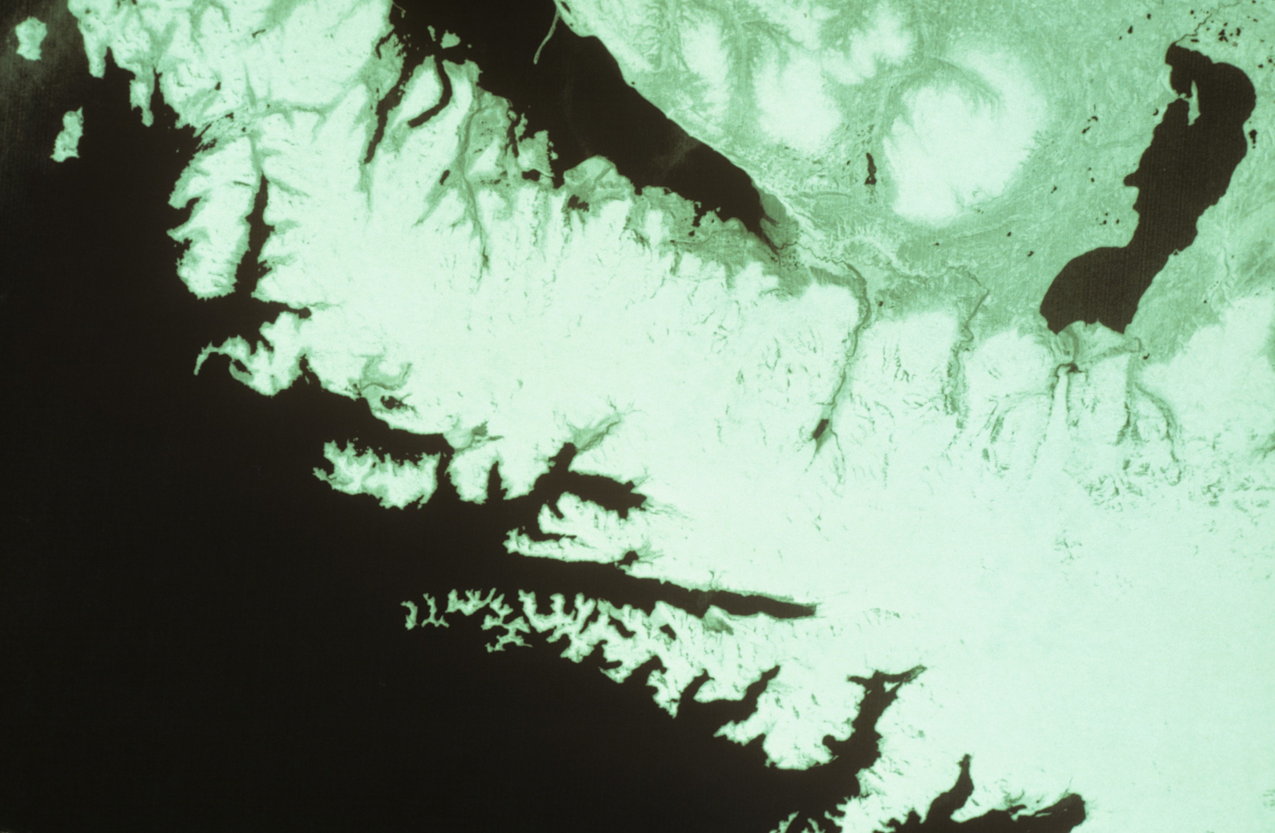
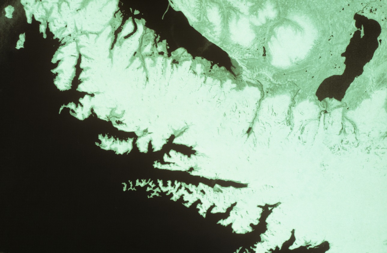
Harding Icefield Satellite Image 1978 - Slide 313
Harding Icefield Satellite Image 1978 - Slide 313
ERTS P 75 R18 MSS7 #21215-21064, 21 May 78, f5.6, 1/15. This slide can be matched with Slide 314 to show a summer season of change in ice on the Harding Icefield. Bud Rice Photo/NPS
KEFJ-00358 Cat# KEFJ 13829
Slide 10/86-39
Slides_03
Slide 313
U.S. National Park Service
Contact the Kenai Fjords National Park for more copyright information and use
Restrictions apply on use and/or reproduction
Image
Kenai Fjords National Park, Code: KEFJ
Kenai Fjords National Park, Kenai Peninsula Borough, Alaska
Latitude: 59.9532012939453, Longitude: -149.88200378418
Latitude: 59.9532012939453, Longitude: -149.88200378418
1978/05/21
Public Can View
Organization: Kenai Fjords National Park
Address: Kenai Fjords National Park, P.O. Box 1727, Seward, AK 99664
Address: Kenai Fjords National Park, P.O. Box 1727, Seward, AK 99664
Monday, March 24, 2025 4:18:05 PM
Monday, March 24, 2025 4:18:05 PM
KEFJ_1984-1988_Rice_Slides_229.jpg
jpg
10.4 MB
Historic