Select Item below to DOWNLOAD - Once item is selected, right click and choose 'save as'
226c35fb-7b76-4c11-b68f-51d6b451d4c6
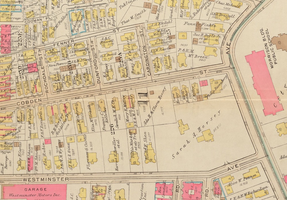
Atlas of the city of Boston, Roxbury : plate 26, 1931 (cropped)
Map of Cobden Street in Roxbury, Boston. 1931
Bromley map of part of the Roxbury neighborhood (cropped). Selection used for the Helen Lee Franklin story map.
G.W. Bromley & Co.. "Atlas of the city of Boston, Roxbury." Map. 1931. Norman B. Leventhal Map & Education Center
Norman B. Leventhal Map & Education Center
Public domain
Image
Boston National Historical Park, Code: BOST
Boston National Historical Park, Suffolk County, Massachusetts
Latitude: 42.3734016418457, Longitude: -71.0557022094727
Latitude: 42.3734016418457, Longitude: -71.0557022094727
01/01/1931
01/01/0001
Public Can View
Organization: Norman B. Leventhal Map & Education Center
Friday, May 1, 2020 10:07:40 AM
Friday, May 1, 2020 10:07:40 AM
HLF7-CobdenStreet.jpg
Monday, January 1, 0001 12:00:00 AM
jpg
1.7 MB
Historic