Select Item below to DOWNLOAD - Once item is selected, right click and choose 'save as'
2205491f-5da1-42b2-9679-210fce99f11e
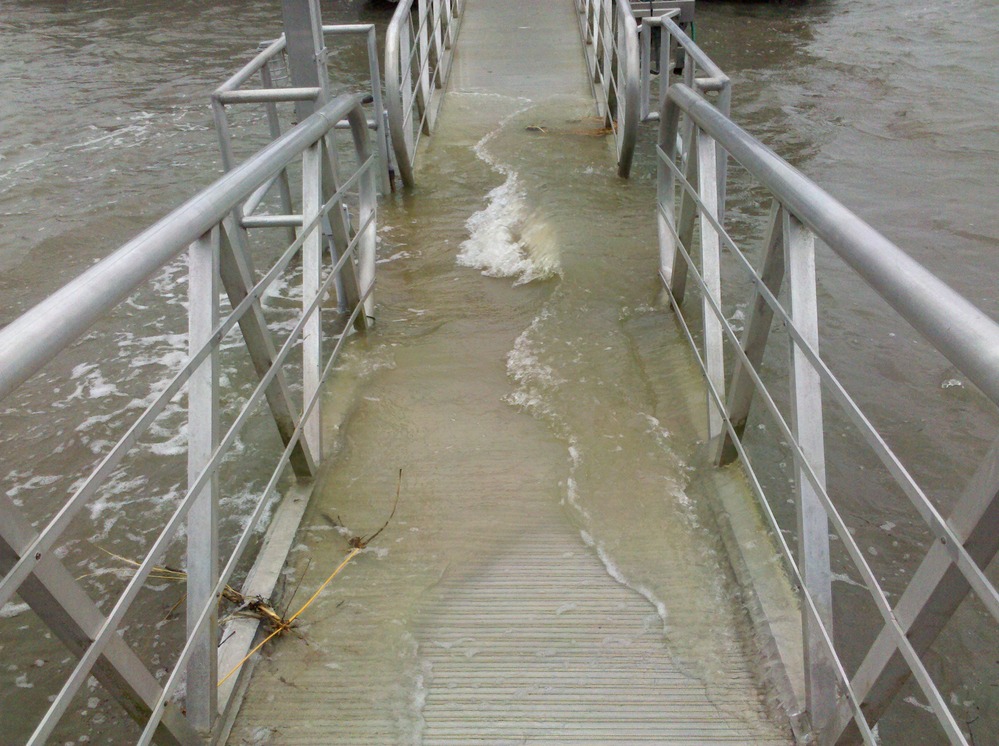
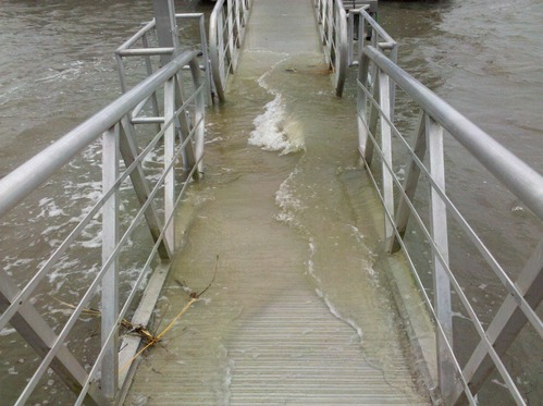
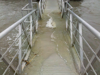
High Tide
Survey of the high tide at Fort Matanzas and surrounding areas. Tides cover most walking surfaces
High Tide during a full moon
Permission must be secured from the individual copyright owners to reproduce any copyrighted materials contained within this website. Digital assets without any copyright restrictions are public domain.
NPS
Public domain:Full Granting Rights
Image
Fort Matanzas National Monument, Code: FOMA
Fort Matanzas National Monument, St. Johns County, Florida
Latitude: 29.7113990783691, Longitude: -81.2387008666992
Latitude: 29.7113990783691, Longitude: -81.2387008666992
11/13/2012
10/27/2012
Public Can View
Friday, January 15, 2021 10:14:56 AM
Friday, January 15, 2021 10:14:56 AM
High Tide VC dock.jpg
4102/1000000 sec at f / 2.8
4 mm
ISO 62
Saturday, October 27, 2012 3:00:43 PM
jpg
1.4 MB
Scenic