Select Item below to DOWNLOAD - Once item is selected, right click and choose 'save as'
1d61ada3-ccf0-4d66-b9d1-7d2709a76b74
VALL
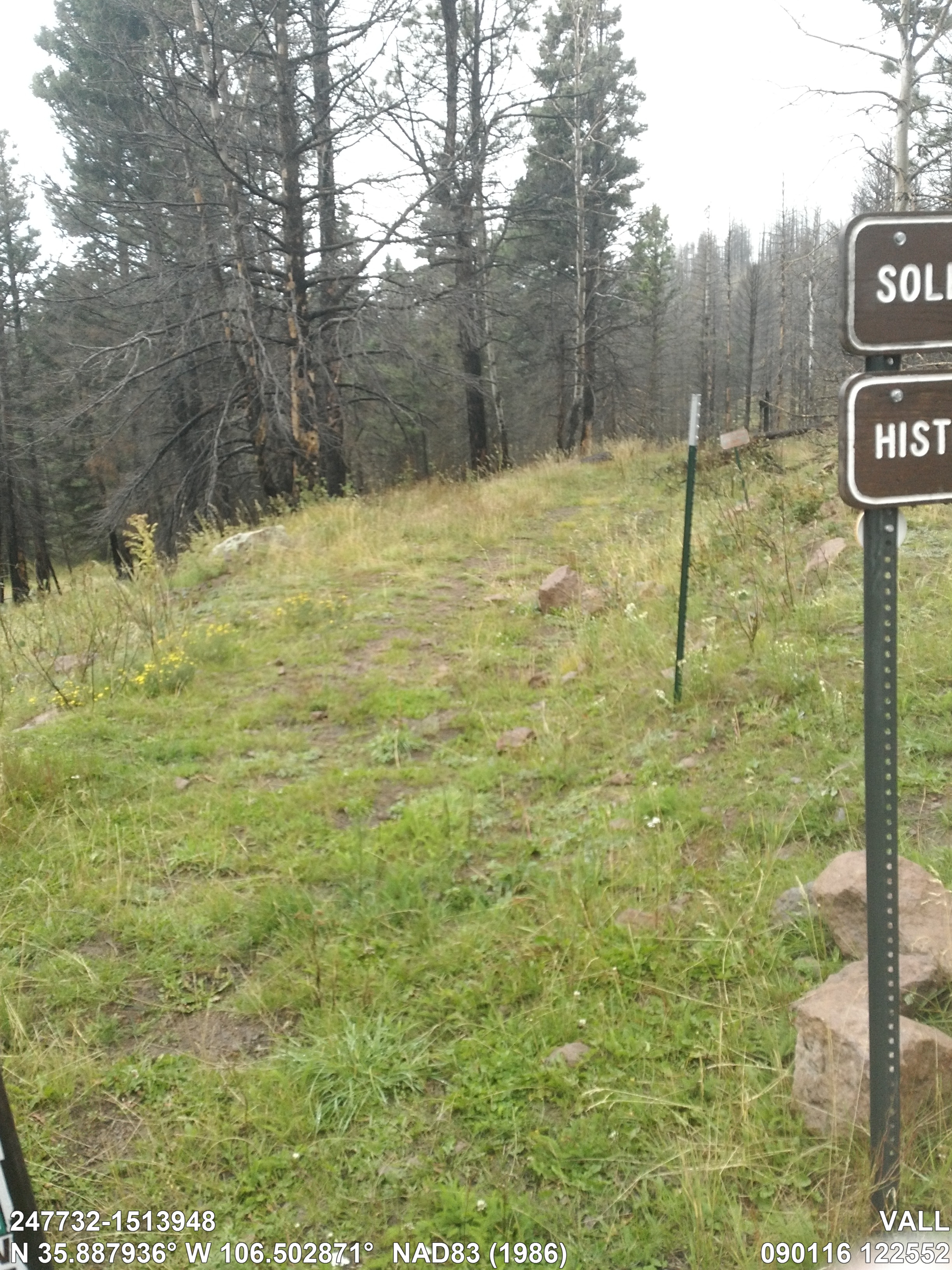
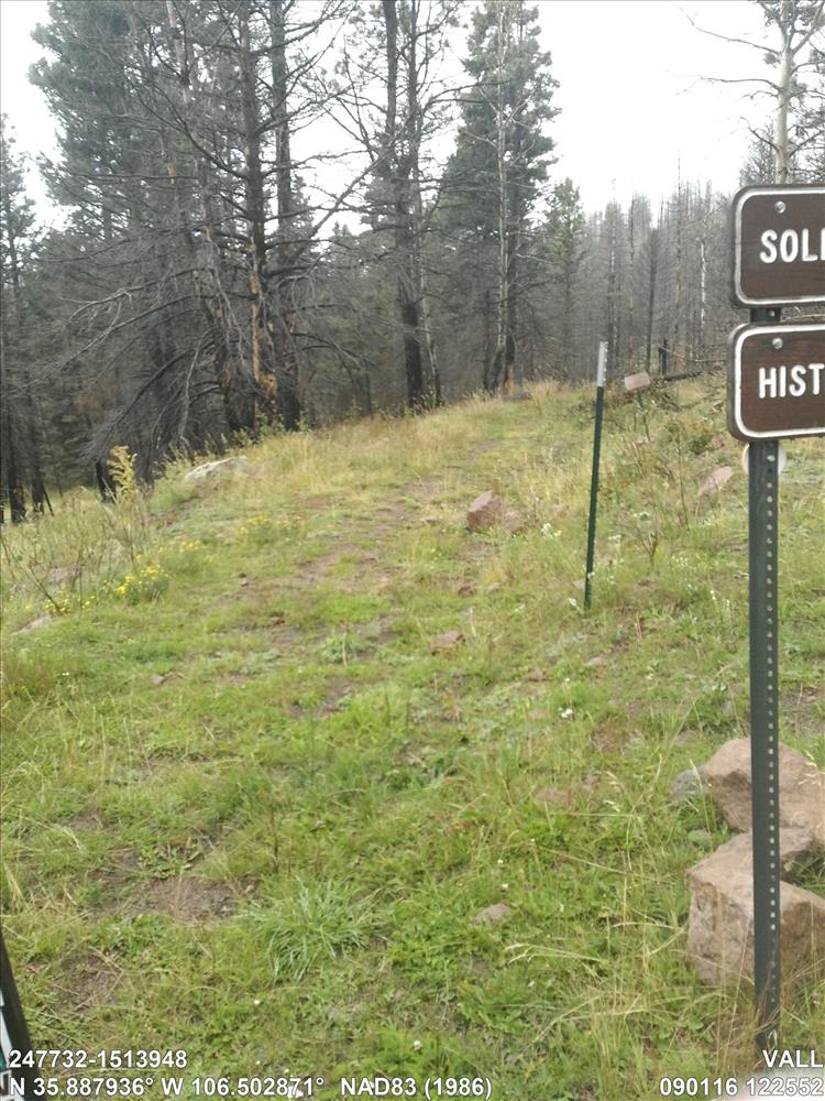
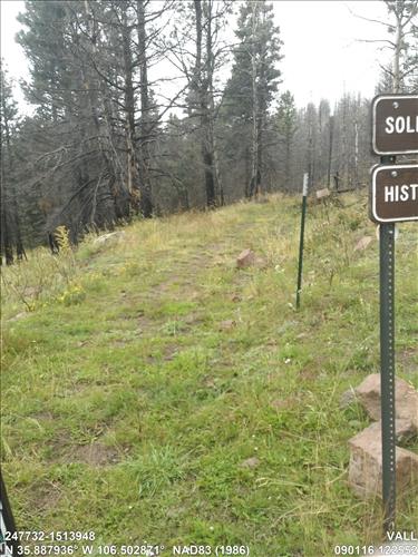
Solitario Trail
Traffic Surface, Tread, Vegetation, 6,823.0 FT, 10.0 FT, End
Image with visible watermark of coordinates, FMSS data, date, time and park code.
247732-1513948
SURFACE / TRAFSURF
Permission must be secured from the individual copyright owners to reproduce any copyrighted materials contained within this website. Digital assets without any copyright restrictions are public domain.
Public domain
Condition Assessment, (NPS Focus Subject Thesaurus)
, Trails, (NPS Focus Subject Thesaurus)
, FMSS, (NPS Focus Subject Thesaurus)
, Trails, (NPS Focus Subject Thesaurus)
, FMSS, (NPS Focus Subject Thesaurus)
Image
Valles Caldera National Preserve, Code: VALL
New Mexico
Latitude: 35.8879358, Longitude: -106.5028708, Elevation: 2707.5
Latitude: 35.8879358, Longitude: -106.5028708, Elevation: 2707.5
09/01/2016
09/01/2016
Public Can View
Organization: FMGIS
Email: Brian_Diethorn@partner.nps.gov
Email: Brian_Diethorn@partner.nps.gov
Tuesday, December 13, 2016 2:59:56 PM
Wednesday, August 9, 2017 1:46:47 PM
247732-1513948_090116_122552_tag.jpg
Garmin Garmin, Monterra
9999/1000000 sec at f / 2.8
4.6 mm
ISO 110
Thursday, September 1, 2016 6:25:59 PM
jpg
4.4 MB
Source: Unknown
Content: units are in feet.
Content: units are in feet.
Inventory