Select Item below to DOWNLOAD - Once item is selected, right click and choose 'save as'
1d386706-6298-4fdc-8a42-c76c43597d07
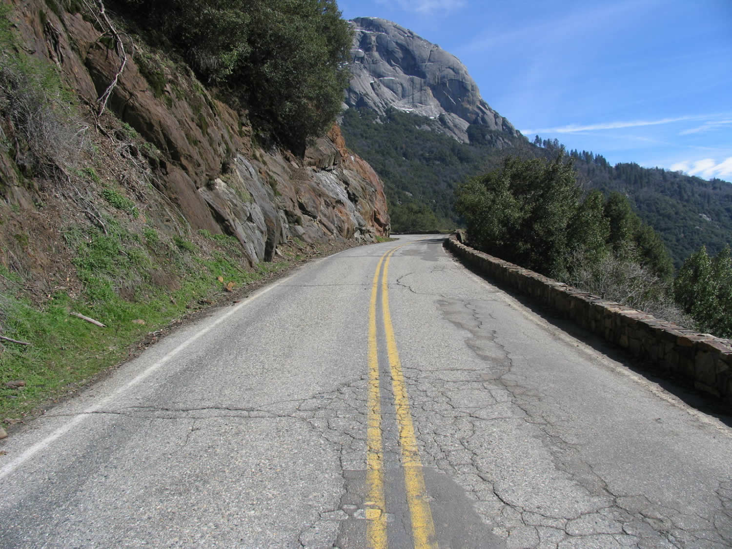
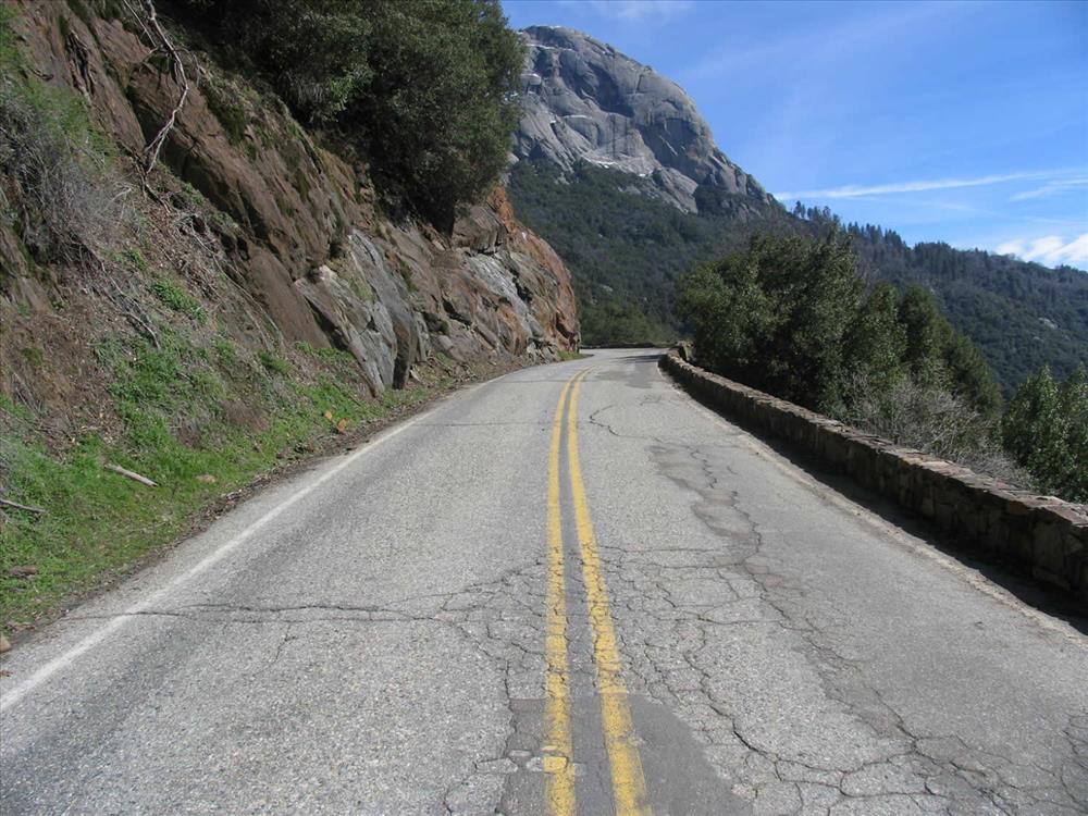
Photos show current condition of Generals Highway
Photos show condition of Generals Highway between Amphitheater Point and Deer Ridge
Permission must be secured from the individual copyright owners to reproduce any copyrighted materials contained within this website. Digital assets without any copyright restrictions are public domain.
Public domain
Image
Sequoia and Kings Canyon National Parks, Code: SEKI
Pacific West Regional Office, Code: PWRO
Pacific West Regional Office, Code: PWRO
Generals Highway, Amphitheater to Deer Ridge, Sequoia and Kings Canyon National Parks, California
Latitude: 36.7172584533691, Longitude: -118.537902832031
Latitude: 36.7172584533691, Longitude: -118.537902832031
02/01/2009
Public Can View
Wednesday, March 18, 2009 1:28:57 PM
Wednesday, August 9, 2017 1:46:30 PM
SEKI-ffd0a083ad934cea981b58d9e093a832.jpg
Monday, January 1, 0001 12:00:00 AM
jpg
273.8 kB
Budget