Select Item below to DOWNLOAD - Once item is selected, right click and choose 'save as'
1BFEECB2-155D-451F-67A4B7637FA99219
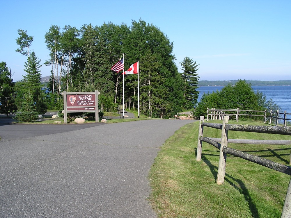
Photo 1
A road leads to an ocean view with tall trees. On the right of the road is a grassy area with a wood fence. On the left are flag poles, one with the United States flag and one with the Canadian flag. The flag poles are next to a large brown, illegible sign with the National Parks arrowhead logo.
Welcome to Saint Croix Island International Historic Site! Let's explore the park's interpretive trail. From here, it is 330 feet (101 m) to the Interpretive Shelter. It is 385 feet (117 m) to the stairs to the beach and boat ramp.
U.S. National Park Service
Permission must be secured from the individual copyright owners to reproduce any copyrighted materials contained within this website. Digital assets without any copyright restrictions are public domain.
NPS
Public domain
Image
Saint Croix Island International Historic Site, Code: SACR
Saint Croix Island International Historic Site, Washington County, Maine
Latitude: 45.1279983520508, Longitude: -67.1330032348633
Latitude: 45.1279983520508, Longitude: -67.1330032348633
7/16/2010 1:19:37 AM
Public Can View
Friday, May 28, 2021 9:32:22 AM
Friday, May 28, 2021 9:32:22 AM
1BFF9ACE-155D-451F-675B361D5FB4E4BE.JPG
OLYMPUS OPTICAL CO.,LTD OLYMPUS OPTICAL CO.,LTD, C740UZ
10/6500 sec at f / 4
6.5 mm
ISO 64
Monday, January 1, 0001 12:00:00 AM
jpg
1.6 MB
Scenic