Select Item below to DOWNLOAD - Once item is selected, right click and choose 'save as'
16c1091d-0621-4b6a-bb76-6083ac283c2d
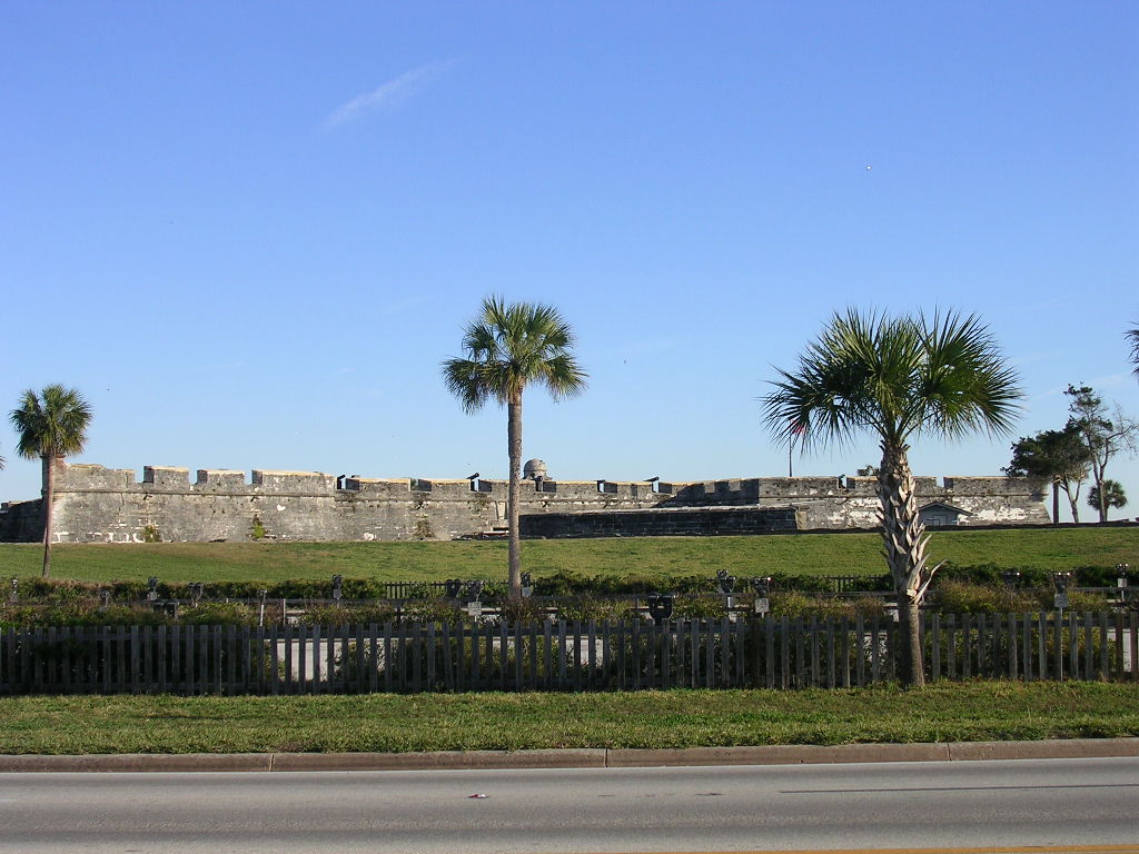
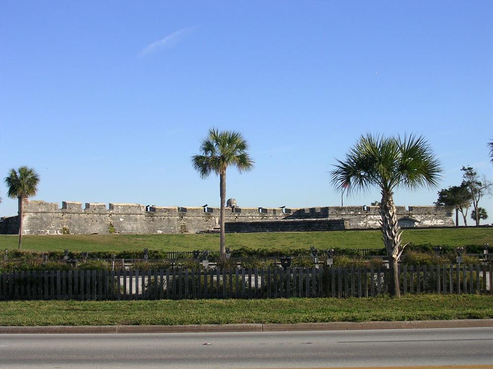
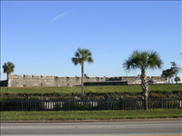
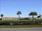
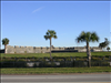
Public parking lot at Castillo de San Marcos National Monument in January 2008
The public parking lot is at the southern end of the glacis around the citadel. It features meters maintained by the City of St. Augustine. The landscaping and wooden fence were installed by the city under an agreement with the National Park Service.
view of lot in front of the citadel
The location of the parking lot is 29°53'47.3"N, 81°18'42.1"W.
Permission must be secured from the individual copyright owners to reproduce any copyrighted materials contained within this website. Digital assets without any copyright restrictions are public domain.
Public domain
Image
Castillo de San Marcos National Monument, Code: CASA
Southeast Regional Office, Code: SERO
Southeast Regional Office, Code: SERO
Castillo de San Marcos National Monument, St. Johns County, Florida
Latitude: 29.8980369567871, Longitude: -81.3125
Latitude: 29.8980369567871, Longitude: -81.3125
01/14/2008
01/14/2008
Thursday, January 17, 2008 4:56:20 PM
Wednesday, August 9, 2017 12:57:09 PM
CASA-09fdce6d0d984142b062c2d77d25972e.jpg
NIKON NIKON, E3200
10/6313 sec at f / 3.4
9.1 mm
ISO 50
Monday, January 14, 2008 4:02:48 PM
jpg
149.8 kB
Public parking lot at Castillo de San Marcos National Monument in January 2008
Public parking lot at Castillo de San Marcos National Monument in January 2008
Public parking lot at Castillo de San Marcos National Monument in January 2008
Public parking lot at Castillo de San Marcos National Monument in January 2008
Public parking lot at Castillo de San Marcos National Monument in January 2008
Public parking lot at Castillo de San Marcos National Monument in January 2008