Select Item below to DOWNLOAD - Once item is selected, right click and choose 'save as'
1677a762-bb64-48e9-afab-5b37e295fd98
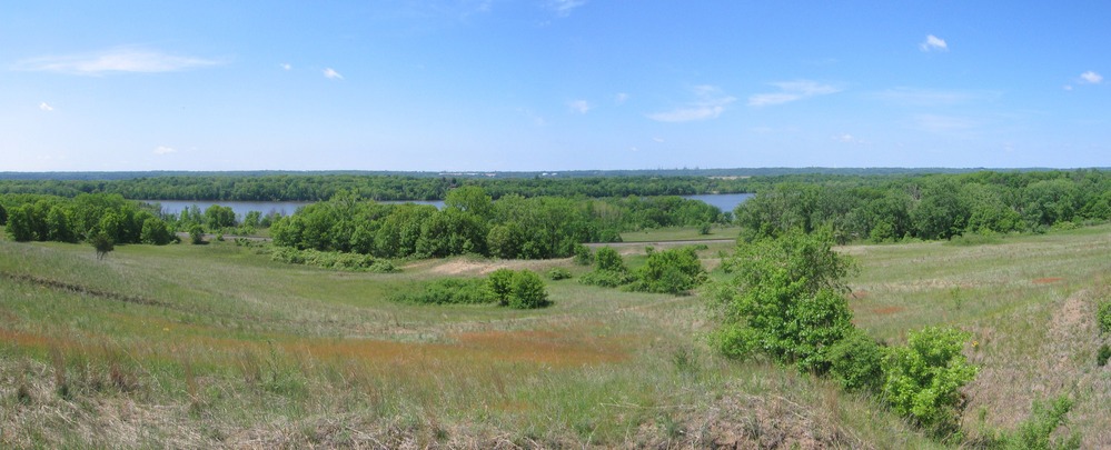
Panoramic view of Grey Cloud Island SNA.jpg
Panoramic photo of Grey Cloud Island.
Panoramic photo of Grey Cloud Island.
Permission must be secured from the individual copyright owners to reproduce any copyrighted materials contained within this website. Digital assets without any copyright restrictions are public domain.
NPS
Public domain:Full Granting Rights
Image
Mississippi National River and Recreation Area, Code: MISS
Mississippi National River and Recreation Area, Minnesota
Latitude: 44.9146118164063, Longitude: -93.1276016235352
Latitude: 44.9146118164063, Longitude: -93.1276016235352
05/31/2008
05/31/2008
Public Can View
Thursday, February 24, 2022 1:23:52 PM
Thursday, February 24, 2022 1:43:35 PM
Panoramic view of Grey Cloud Island SNA.jpg
Saturday, May 31, 2008 5:29:35 PM
jpg
1.8 MB
Scenic