Select Item below to DOWNLOAD - Once item is selected, right click and choose 'save as'
143ddaf3-5383-4828-8ef5-1ef61532c617
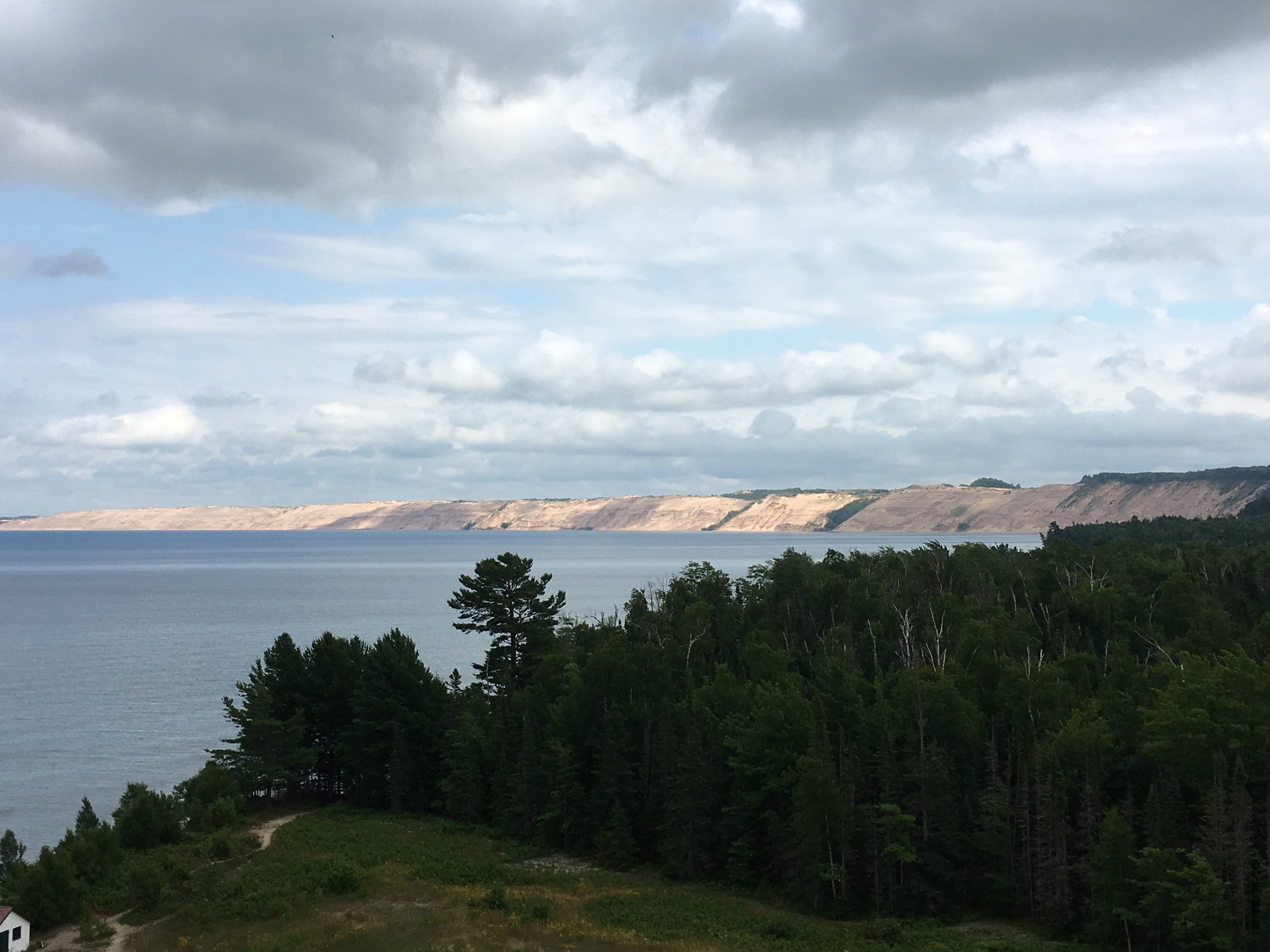
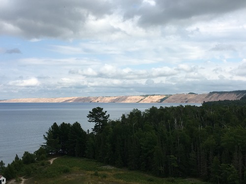
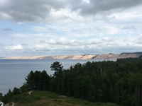
Grand Sable Dunes as seen from Au Sable Lighthouse
Au Sable Lighthouse View of Lake Superior and the Grand Sable Dunes. The Au Sable Lighthouse was built here because of the dangers to navigation. Shallow water extends almost two miles out into Lake Superior and creates a risk to ships. The Grand Sable Dunes and Lake Superior combine to create quickly forming fog banks that also pose a risk to navigation.
Grand Sable Dunes as seen from Au Sable Lighthouse
Permission must be secured from the individual copyright owners to reproduce any copyrighted materials contained within this website. Digital assets without any copyright restrictions are public domain.
NPS
Public domain:Full Granting Rights
Image
Pictured Rocks National Lakeshore, Code: PIRO
Pictured Rocks National Lakeshore, Alger County, Michigan
Latitude: 46.513500213623, Longitude: -86.4669036865234
Latitude: 46.513500213623, Longitude: -86.4669036865234
07/24/2016
07/24/2016
Public Can View
Friday, April 3, 2020 12:29:49 PM
Friday, April 3, 2020 12:29:49 PM
IMG_0599.JPG
Apple Apple, iPhone 6s 25, iPhone 6s back camera 4.15mm f/2.2
1/1672 sec at f / 2.2
4.15 mm
ISO 25
Sunday, July 24, 2016 10:55:22 PM
jpg
1.5 MB
Scenic