Select Item below to DOWNLOAD - Once item is selected, right click and choose 'save as'
13dd13beac864d19a41b19cd6a46276e
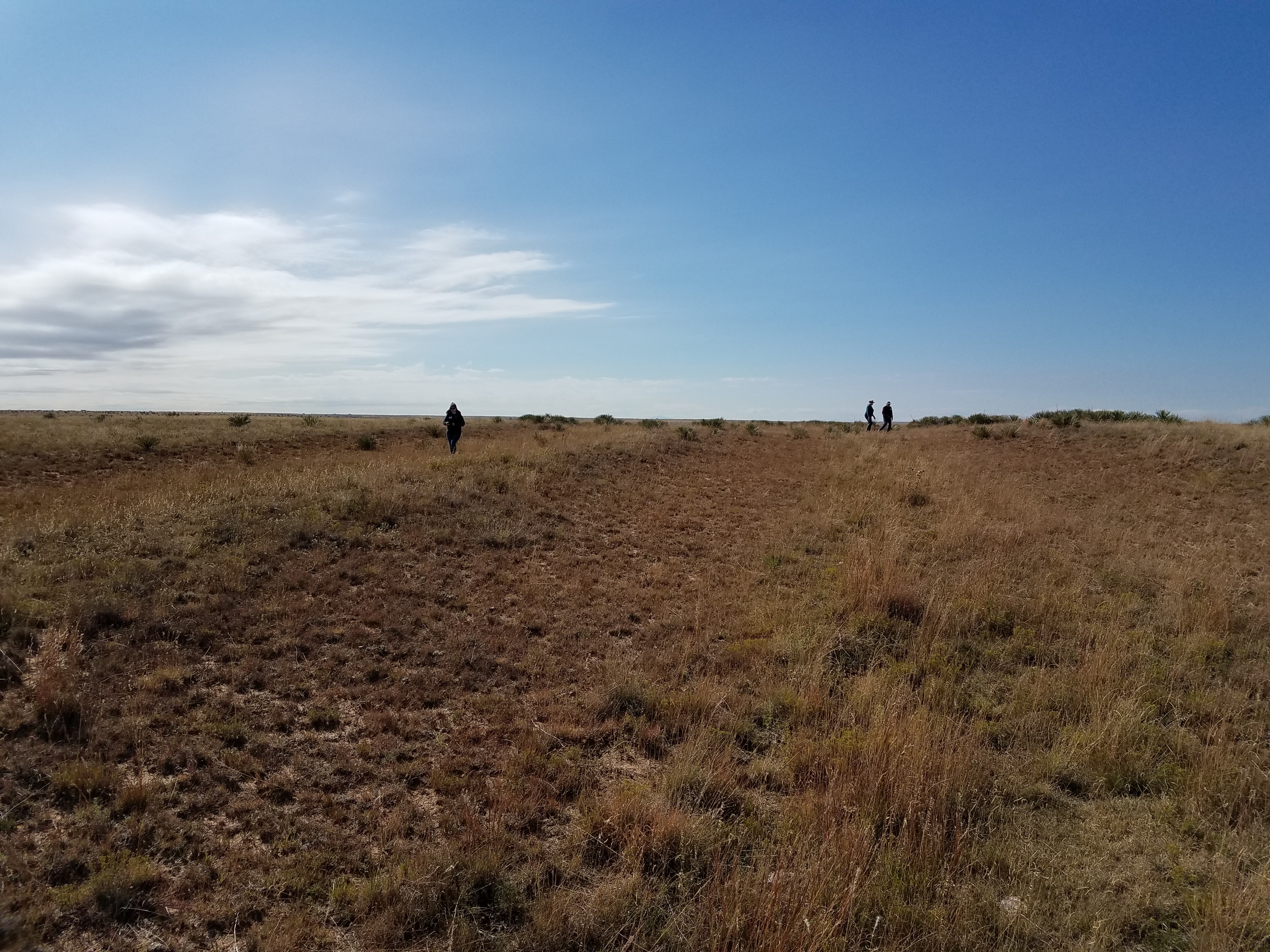
People walking ruts and swales at Cimarron National Grassland - 2
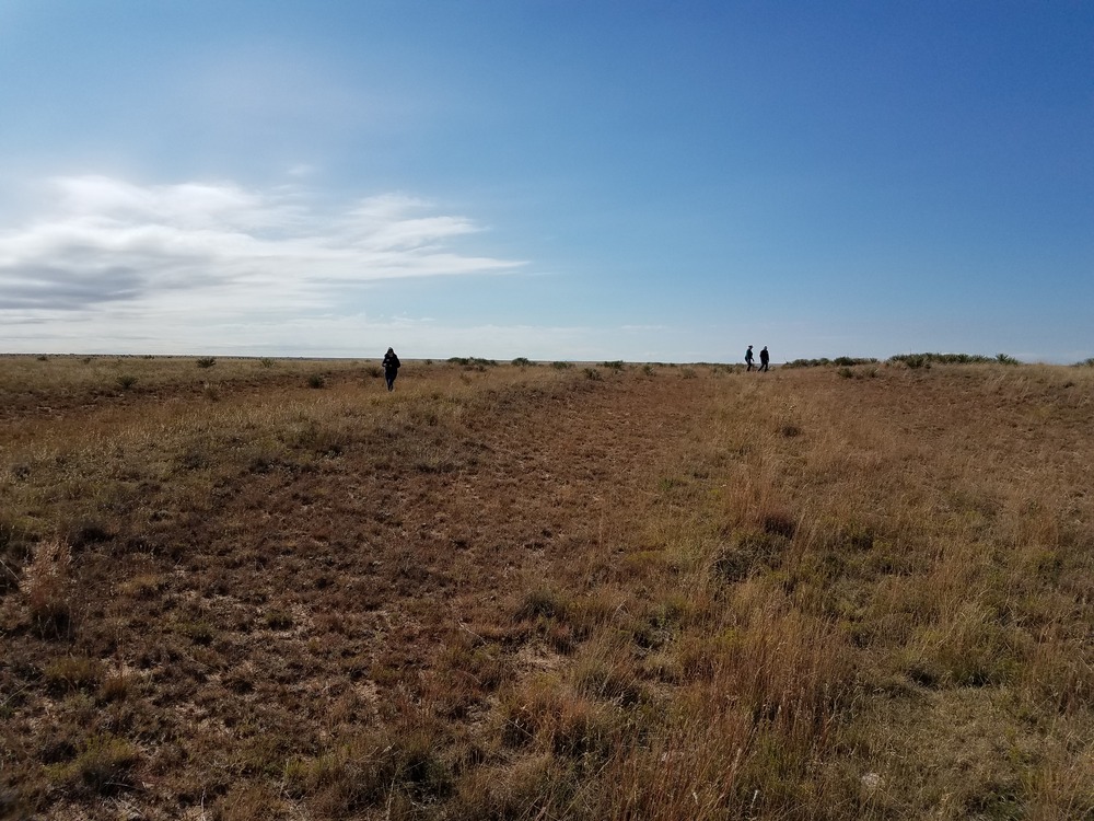
People walking ruts and swales at Cimarron National Grassland - 2
People walking ruts and swales at Cimarron National Grassland - 2; https://www.fs.usda.gov/detail/psicc/about-forest/offices/?cid=fsm9_032733
U.S. National Park Service
Permission must be secured from the individual copyright owners to reproduce any copyrighted materials contained within this website.
Public domain
Kansas, (SanteFe Trail State)
Image
Santa Fe National Historic Trail, Code: SAFE
Cimarron National Grassland, Morton County, Kansas
Santa Fe National Historic Trail
Latitude: 37.9892997741699, Longitude: -99.3414993286133
Santa Fe National Historic Trail
Latitude: 37.9892997741699, Longitude: -99.3414993286133
20181006
10/06/2018
Shot On: SM-G930V; Dimensions 4032 x 3024; Shot 1/5000 sec. f/1.7 4.2mm; ISO 40; Size 5.4 MB
Organization: US National Park Service
Address: PO Box 728, Santa Fe, New Mexico 87504, Phone:(505) 988-6098
Email: ntir_information@NPS.gov
Address: PO Box 728, Santa Fe, New Mexico 87504, Phone:(505) 988-6098
Email: ntir_information@NPS.gov
Tuesday, November 3, 2020 4:25:14 PM
Tuesday, November 3, 2020 4:25:14 PM
SAFE_KS_CimarronNationalGrassland_20181006_NPS_(09).JPG
jpg
5.6 MB
Scenic
,
Historic