NPS Museum Accession Number : ZION-00768
Zion Legacy HPC Database Number : HPC-007010
Organization: Zion National Park
Position: Museum Curator
Address: Zion National Park, State Route 9, Springdale, UT 84767
Email: zion_museum@nps.gov
Lameraux property, land appraisal for proposed purchase, T 39 N, R 11 W, at corner common to sections 32, 33, 28, and 29. ; ZION Museum and Archives Image 103_02_003 ; ZION 8329
Lameraux property, land appraisal for proposed purchase, T 39 N, R 11 W, at road location to head of Hop Valley. ; ZION Museum and Archives Image 103_02_005 ; ZION 8331
James B. Felton standing at corner common to sections 28, 29, 32, and 33, T 39 N, R 11 W, on misused land north of Firepit Knoll. ; ZION Museum and Archives Image 103_02_006 ; ZION 8332
Private land, section 13, T 39 S, R 10 W, SE 1/4 SE 1/4 appraised by Elwood Corry. ; ZION Museum and Archives Image 103_02_007 ; ZION 8227
Rulon Langston land, 40 acres- section 13, T 39 S, R 10 W, SE 1/4 SE 1/4. ; ZION Museum and Archives Image 103_02_008 ; ZION 8358
Private land, section 13, T 39 S, R 10 W, SE 1/4 SE 1/4 appraised by Elwood Corry. ; ZION Museum and Archives Image 103_02_009 ; ZION 8228
Private land, section 13, T 39 S, R 10 W, SE 1/4 SE 1/4 appraised by Elwood Corry. ; ZION Museum and Archives Image 103_02_010 ; ZION 8229
Location of state land adjacent to proposed development area of Taylor Creek - section 29, T 38 S, R 12 W. ; ZION Museum and Archives Image 103_02_011 ; ZION 8359
Location of state land adjacent to proposed development area of Taylor Creek - section 29, T 38 S, R 12 W. ; ZION Museum and Archives Image 103_02_012 ; ZION 8360
Location of state land adjacent to proposed development area of Taylor Creek - section 29, T 38 S, R 12 W. ; ZION Museum and Archives Image 103_02_013 ; ZION 8361
State land adjacent to proposed development area of Taylor Creek, section 29, T 38 S, R 12 W. ; ZION Museum and Archives Image 103_02_014 ; ZION 8362
Location of state land adjacent to proposed development area of Taylor Creek, for land appraisal. ; ZION Museum and Archives Image 103_02_015 ; ZION 8363
Location of state land adjacent to proposed development area of Taylor Creek, section 29, T 38 S, R 12 W. Used in preparing appraisal of land. ; ZION Museum and Archives Image 103_02_016 ; ZION 8364
Private lands at Langston Mountain and Lee Valley, aerial view for land appraisal purposes. ; ZION Museum and Archives Image 103_02_017 ; ZION 10597
Private lands - Langston Mountain and Lee Valley, aerial view for land appraisal purposes. ; ZION Museum and Archives Image 103_02_018 ; ZION 10598
Private lands - Langston Mountain and Lee Valley, aerial view for land appraisal purposes. ; ZION Museum and Archives Image 103_02_019 ; ZION 10599
Private lands - Langston Mountain and Lee Valley, aerial view for land appraisal purpose. ; ZION Museum and Archives Image 103_02_020 ; ZION 10600
Private lands - Langston Mountain and Lee Valley, aerial view for land appraisal purposes. ; ZION Museum and Archives Image 103_02_021 ; ZION 10601
Private lands - Langston Mountain and Lee Valley, aerial view for land appraisal purposes. ; ZION Museum and Archives Image 103_02_022 ; ZION 10602
Private lands - Langston Mountain and Lee Valley, aerial view for land appraisal purposes. ; ZION Museum and Archives Image 103_02_023 ; ZION 10603
Private lands - Langston Mountain and Lee Valley, aerial view for land appraisal purposes. ; ZION Museum and Archives Image 103_02_024 ; ZION 10604
A-frame house- inholdings: private. ; ZION Museum and Archives Image 103_02_025 ; ZION 8356
Privately owned A-frame cabin near Blue Springs on the Kolob, near Lava Point. ; ZION Museum and Archives Image 103_02_026 ; ZION 8357
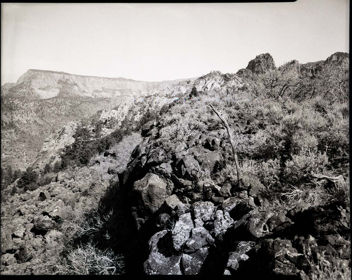
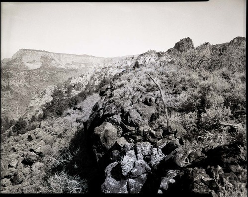
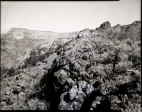
Inspection trip into Kolob area. Inspection party going up Bear Trap Canyon. ; ZION Museum and Archives Image 103_02_028 ; ZION 9630