Select Item below to DOWNLOAD - Once item is selected, right click and choose 'save as'
1213ae0e-e18f-4064-8eb4-f89473e3d760
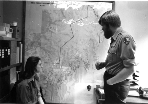
Deb Sturdevant and John Morris check out the map of Kenai Fjords National Park in 1981
Deb Sturdevant and John Morris check out the map of Kenai Fjords National Park in 1981
Deb Sturdevant and John Morris check out the map of Kenai Fjords National Park in 1981. NPS photo
KEFJ 13289
Separated Photographic Materials
Box 5 Folder 1
U.S. National Park Service
Contact the Kenai Fjords National Park for more copyright information and use
Restrictions apply on use and/or reproduction
Image
Kenai Fjords National Park, Code: KEFJ
Kenai Fjords National Park, Kenai Peninsula Borough, Alaska
Latitude: 59.9532012939453, Longitude: -149.88200378418
Latitude: 59.9532012939453, Longitude: -149.88200378418
Circa 1981
Public Can View
Organization: Kenai Fjords National Park
Address: Kenai Fjords National Park, P.O. Box 1727, Seward, AK 99664
Address: Kenai Fjords National Park, P.O. Box 1727, Seward, AK 99664
Wednesday, April 16, 2025 7:50:12 PM
Wednesday, April 16, 2025 7:50:12 PM
KEFJ_1981_Museum_0842.tif
tif
4.6 MB
Scenic
,
Historic