Select Item below to DOWNLOAD - Once item is selected, right click and choose 'save as'
0df8ca2c-a5a0-421b-ae5d-16a43e6e21ee
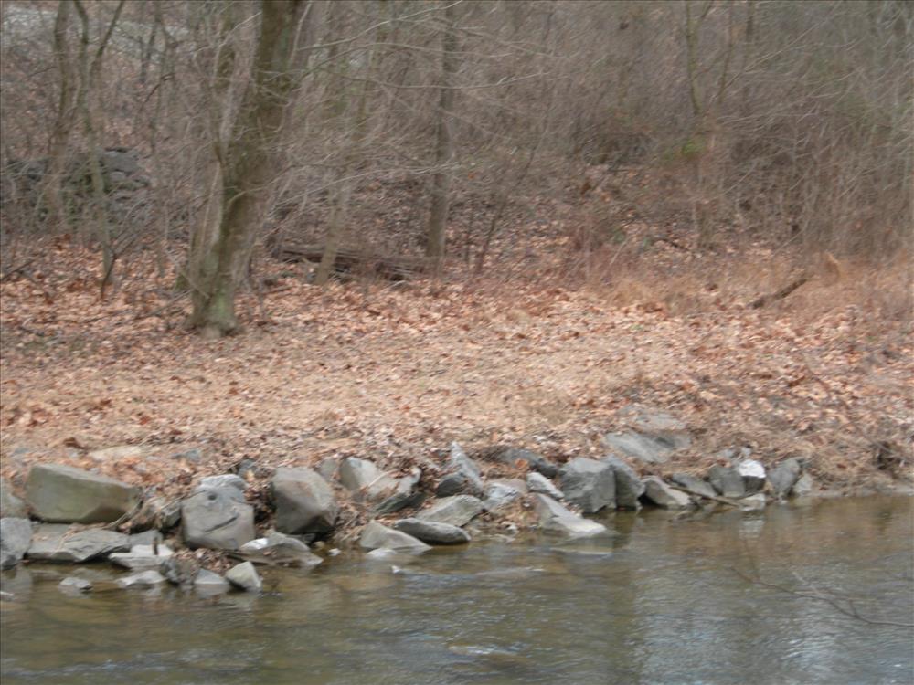
Historic Gambrill Mill Dam Ruins at Monocacy N.B., February 8, 2008
This project will provide emergency stabilization of the ruins of the dam associated with the historic ca. 1830 Gambrill Mill. The ruins are situated approximately one mile southeast of the mill structure, on Bush Creek. The dam was constructed to divert water from the creek along a mill race constructed for the purpose of powering the mill¿s water wheel. Gambrill Mill was in operation until around 1897, and the race was subsequently filled in. However, a considerable amount of physical evidence of the Mill Dam Ruins and Mill Raceway exist with mortared masonry wall sections extant.
Permission must be secured from the individual copyright owners to reproduce any copyrighted materials contained within this website. Digital assets without any copyright restrictions are public domain.
Public domain
Image
Monocacy National Battlefield, Code: MONO
Gambrill Mill ; Dam ; Stabilization, Monocacy National Battlefield, Frederick County, Maryland
Latitude: 39.3577003479004, Longitude: -77.4024963378906
Latitude: 39.3577003479004, Longitude: -77.4024963378906
02/08/2008
02/08/2008
Public Can View
Friday, February 8, 2008 1:21:29 PM
Wednesday, August 9, 2017 12:15:54 PM
MONO-a48d4bd0dad84f96aacef9177a032abf.jpg
NIKON NIKON, E7900
10/640 sec at f / 4.9
23.4 mm
ISO 50
Friday, February 8, 2008 7:26:00 AM
jpg
1.2 MB
Budget