Select Item below to DOWNLOAD - Once item is selected, right click and choose 'save as'
094dfac8-0e07-42a0-b30b-5583aef1c8cd
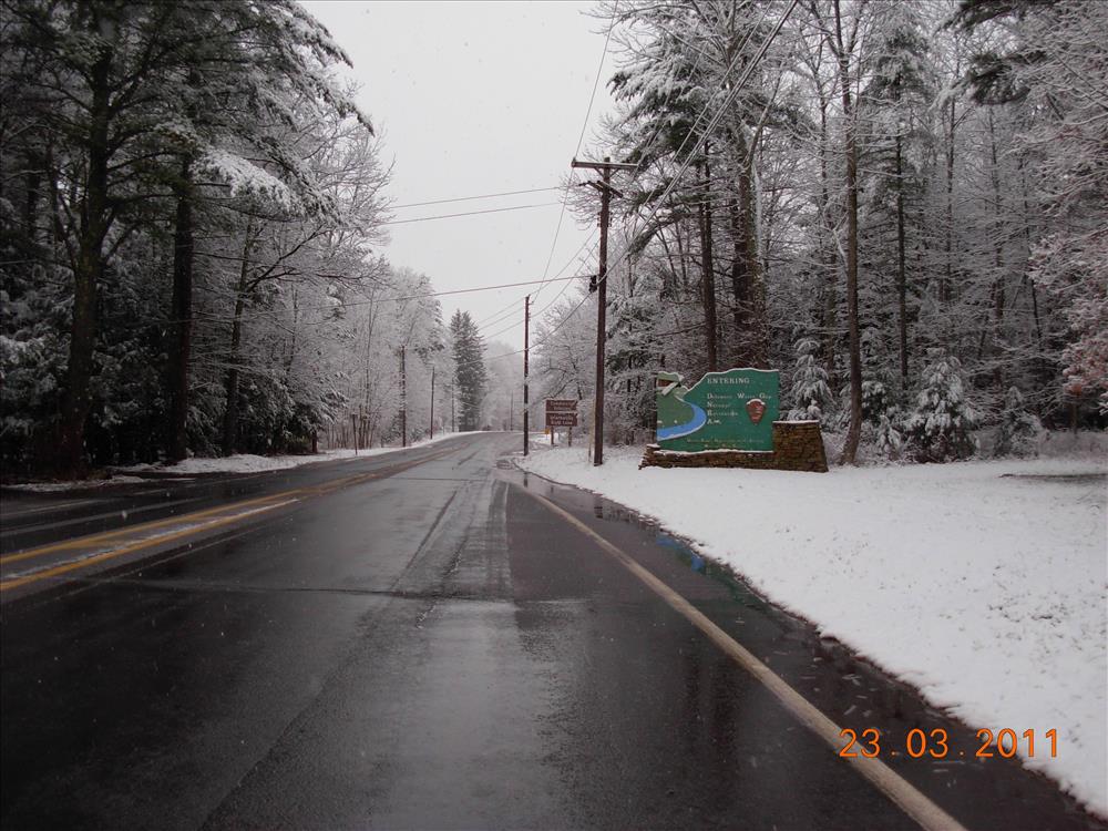
Sign, Wood, 8.00 FT, 12.42 FT, Entering Delaware Water Gap NRA, March 2011
Picture taken in support of request for new park signage, taken at North Entrance to park from US209/US206 junction, looking south on March 23, 2011.
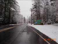
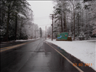
Overview of sign location in more detail
Permission must be secured from the individual copyright owners to reproduce any copyrighted materials contained within this website. Digital assets without any copyright restrictions are public domain.
Public domain
Image
Delaware Water Gap National Recreation Area, Code: DEWA
Southeast Archeological Center, Code: SEAC
Southeast Archeological Center, Code: SEAC
Delaware Water Gap National Recreation Area
Latitude: 41.1003189086914, Longitude: -74.9569320678711
Latitude: 41.1003189086914, Longitude: -74.9569320678711
03/23/2011
03/23/2011
Public Can View
Thursday, March 24, 2011 12:24:52 PM
Wednesday, August 9, 2017 11:50:42 AM
DEWA-2d68961a2b444c9faa6e07dc66a32fb5.jpg
NIKON NIKON, COOLPIX L5
10/1436 sec at f / 2.9
6.3 mm
ISO 79
Wednesday, March 23, 2011 12:05:02 PM
jpg
2.5 MB
Inventory