Select Item below to DOWNLOAD - Once item is selected, right click and choose 'save as'
08c57802-76e5-4add-aa0c-424b65ff389e
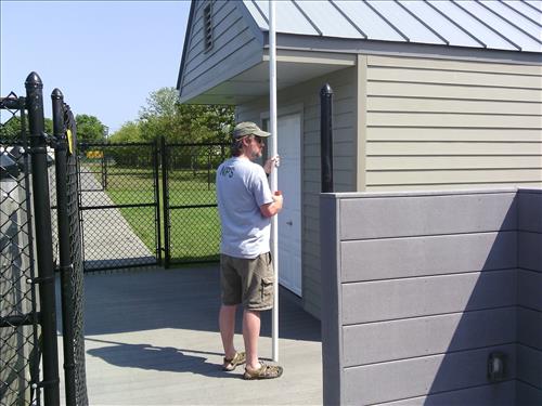
FIIS-Patchogue District
Ferry Terminal Shed
Image with visible watermark of coordinates, elevations date, time and park code.
pm shed
4100
Permission must be secured from the individual copyright owners to reproduce any copyrighted materials contained within this website. Digital assets without any copyright restrictions are public domain.
Public domain
FMSS, (NPS Focus Subject Thesaurus)
, Asset Inventory, (NPS Focus Subject Thesaurus)
, Buildings, (NPS Focus Subject Thesaurus)
, Elevations, (NPS Focus Subject Thesaurus)
, Asset Inventory, (NPS Focus Subject Thesaurus)
, Buildings, (NPS Focus Subject Thesaurus)
, Elevations, (NPS Focus Subject Thesaurus)
Image
Fire Island National Seashore, Code: FIIS
Patchogue, Fire Island National Seashore, Suffolk County, New York
Latitude: 40.6917991638184, Longitude: -72.9944000244141, Elevation: 0.82
Latitude: 40.6917991638184, Longitude: -72.9944000244141, Elevation: 0.82
FMSS (LOCATION NUMBER) ID : pm shed
08/07/2014
08/07/2014
Public Can View
GPS
Organization: FMGIS
Email: Brian_Diethorn@partner.nps.gov
Email: Brian_Diethorn@partner.nps.gov
Tuesday, March 10, 2015 2:08:59 PM
Wednesday, August 9, 2017 11:48:15 AM
pm shed_080714_105305.jpg
Pegatron Pegatron, Getac Z710
990/1000000 sec at f / 2.8
3.37 mm
ISO 71
Thursday, August 7, 2014 2:53:24 PM
jpg
2.9 MB
Inventory