Select Item below to DOWNLOAD - Once item is selected, right click and choose 'save as'
075338c3-596b-4286-9ac7-331e38b71eb0
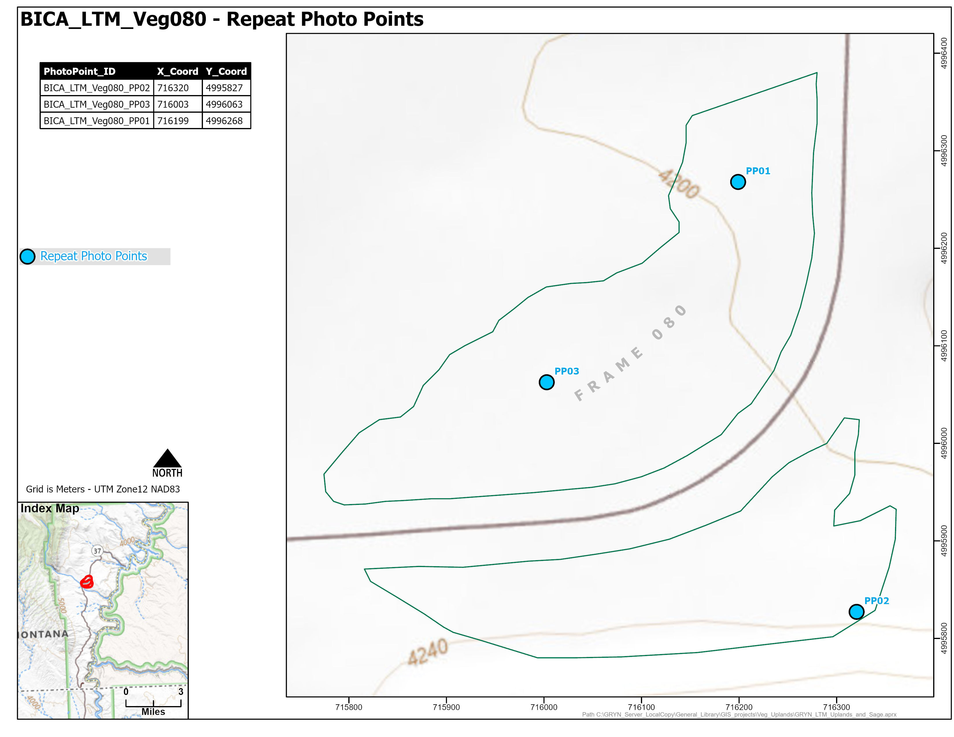
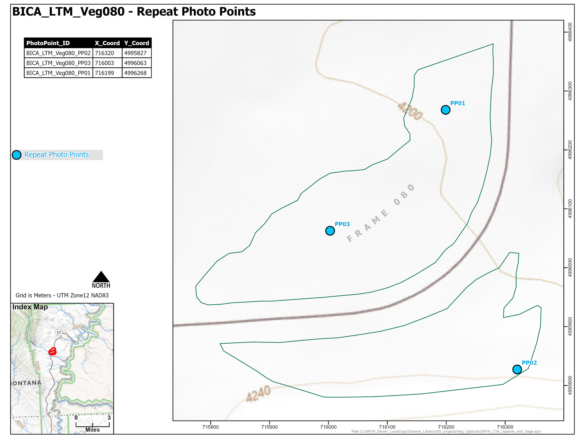
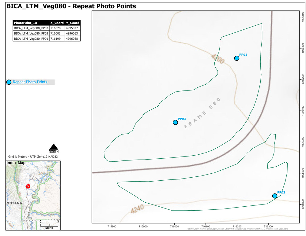
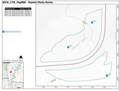
BICA_LTM_Veg080_PhotoLocations.jpg
Map of repeat photo point locations for one of fifteen areas where long-term monitoring of sage-steppe vegetation occurs starting in 2011 in Bighorn Canyon National Recreation Area.
Permission must be secured from the individual copyright owners to reproduce any copyrighted materials contained within this website. Digital assets without any copyright restrictions are public domain.
Public domain:Full Granting Rights
Image
Bighorn Canyon National Recreation Area, Code: BICA
Greater Yellowstone Network, Code: GRYN
Greater Yellowstone Network, Code: GRYN
Bighorn Canyon National Recreation Area
Latitude: 45.2888603210449, Longitude: -108.027099609375
Latitude: 45.2888603210449, Longitude: -108.027099609375
07/25/2025
07/25/2025
Public Can View
Person: Program Leader
Organization: NPS Greater Yellowstone Inventory & Monitoring Network
Role: Data Manager
Email: see GRYN website
Organization: NPS Greater Yellowstone Inventory & Monitoring Network
Role: Data Manager
Email: see GRYN website
Friday, July 25, 2025 5:48:38 PM
Friday, July 25, 2025 8:28:25 PM
BICA_LTM_PhotoLocations_Veg080.jpg
Monday, January 1, 0001 12:00:00 AM
jpg
588.2 kB
Monitoring