Select Item below to DOWNLOAD - Once item is selected, right click and choose 'save as'
051b4e7a-1d00-4ae9-8ec1-67eb5576c09b
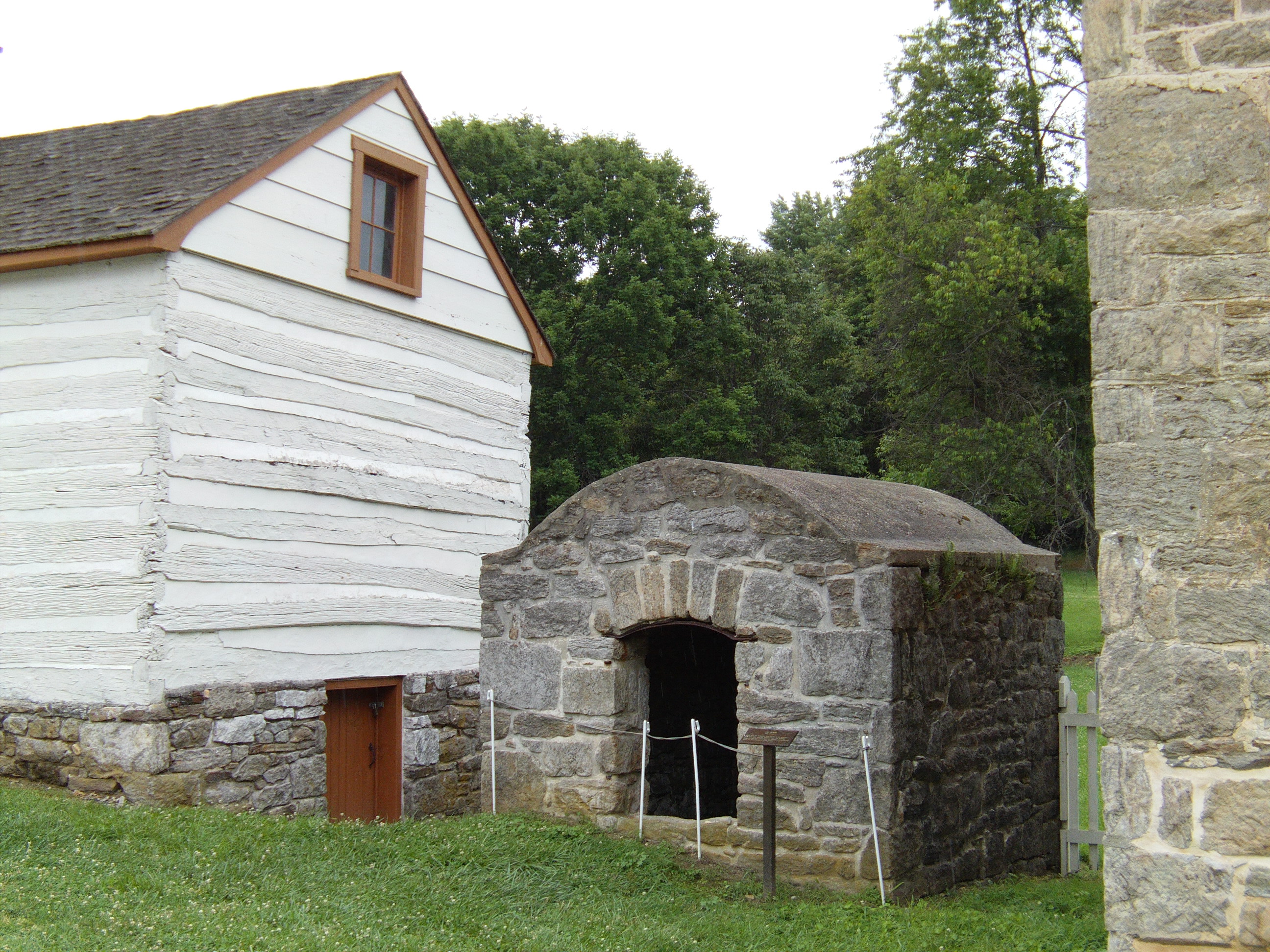
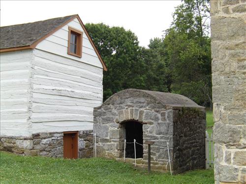
Farm buildings at Hampton National Historic Site in June 2009
Farm buildings across the street (Hampton Lane) from the mansion.
farm buildings.
39°25'15"N, 76°35'10"W
Permission must be secured from the individual copyright owners to reproduce any copyrighted materials contained within this website. Digital assets without any copyright restrictions are public domain.
Public domain
Farms, ()
Image
Hampton National Historic Site, Code: HAMP
Southeast Regional Office, Code: SERO
Southeast Regional Office, Code: SERO
Hampton National Historic Site, Baltimore County, Maryland
Latitude: 39.4165992736816, Longitude: -76.5882034301758
Latitude: 39.4165992736816, Longitude: -76.5882034301758
Legacy NPS Focus Record ID : 248348
06/17/2009
06/17/2009
Public Can View
Monday, June 22, 2009 12:16:48 PM
Wednesday, August 9, 2017 11:22:06 AM
HAMP-9e8fad076850406b80e35f3fc9389e28.jpg
10/2141 sec at f / 3.69
8.15 mm
ISO 100
Wednesday, June 17, 2009 6:46:51 PM
jpg
1.8 MB
Farm buildings at Hampton National Historic Site in June 2009
Farm buildings at Hampton National Historic Site in June 2009
Farm buildings at Hampton National Historic Site in June 2009
Farm buildings at Hampton National Historic Site in June 2009
Farm buildings at Hampton National Historic Site in June 2009
Farm buildings at Hampton National Historic Site in June 2009