Select Item below to DOWNLOAD - Once item is selected, right click and choose 'save as'
041366bc-97e7-48db-97b9-19f838af6fc2
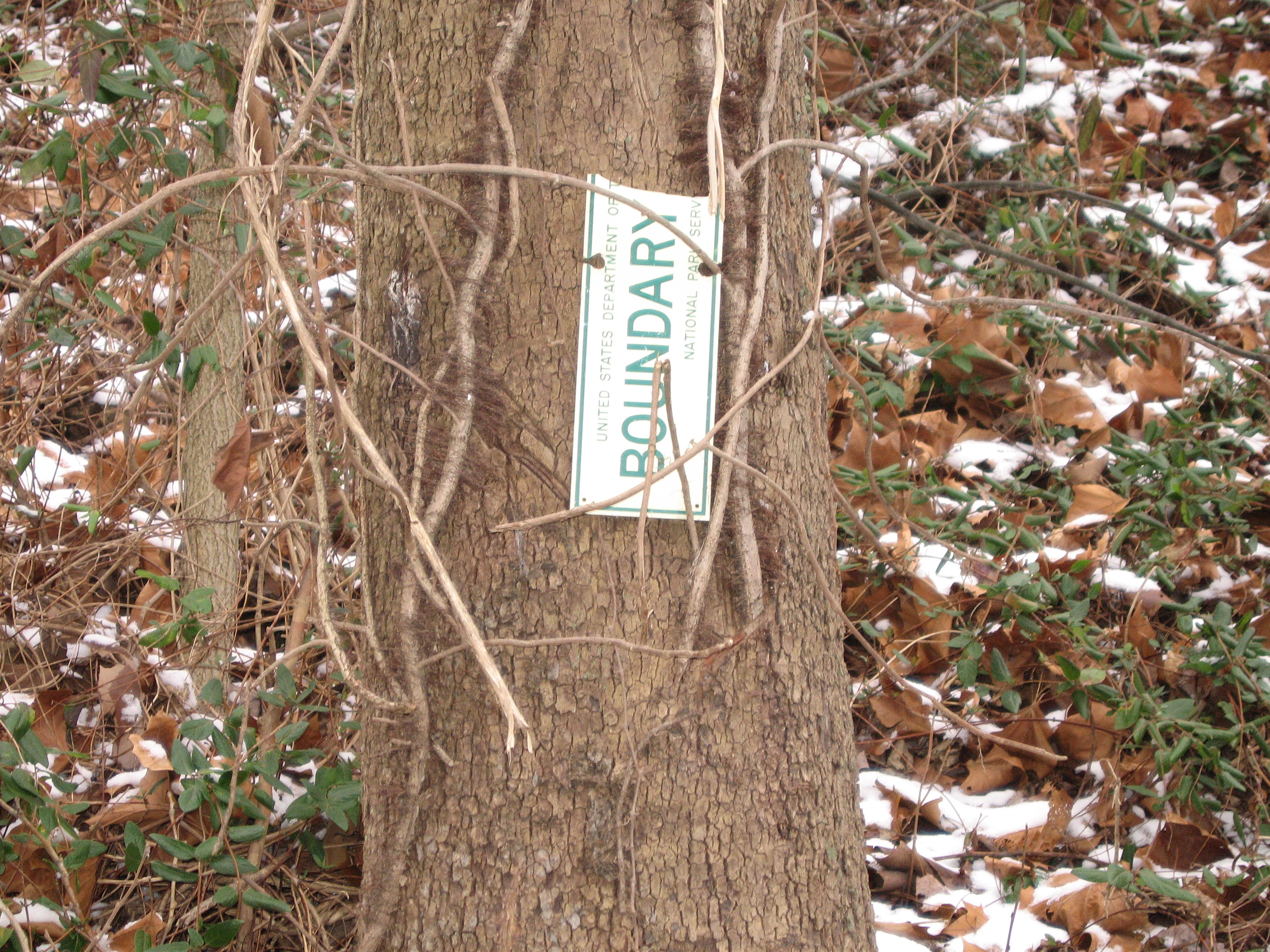
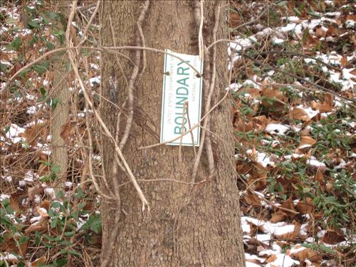
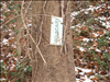
Boundary identification at Monocacy N.B. January 23, 2007.
Identify the park boundary to identify jurisdiction and prevent crime.
Pt. 1 Damaged park boundary marker
U.S. National Park Service
Permission must be secured from the individual copyright owners to reproduce any copyrighted materials contained within this website. Digital assets without any copyright restrictions are public domain.
Public domain
Image
Monocacy National Battlefield, Code: MONO
Monocacy National Battlefield, Frederick County, Maryland
Latitude: 39.3577003479004, Longitude: -77.4024963378906
Latitude: 39.3577003479004, Longitude: -77.4024963378906
01/22/2007
01/23/2007
Public Can View
Wednesday, January 24, 2007 11:54:52 AM
Wednesday, August 9, 2017 11:17:19 AM
MONO-c1e2054338e647e48f56d922b812e7ac.jpg
Canon Canon, Canon PowerShot SD500
1/60 sec at f / 4.9
23.1 mm
Monday, January 22, 2007 10:56:18 AM
jpg
3.1 MB
Budget