Select Item below to DOWNLOAD - Once item is selected, right click and choose 'save as'
030d913d-7ee2-4a76-bf83-d992e5d33a72
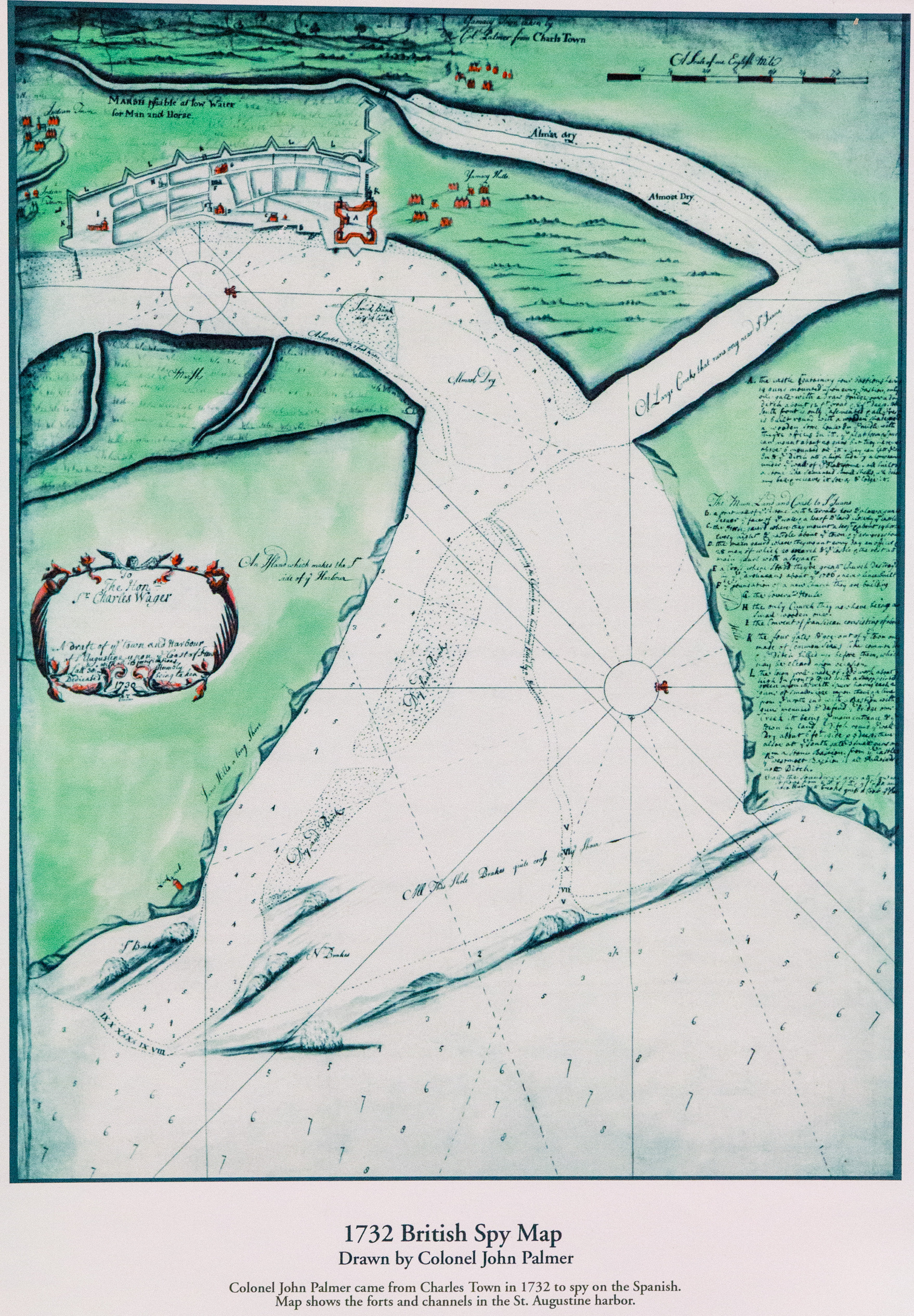
1732 British Spy Map of St. Augustine
Drawing of St. Augustine and surrounding bayfront. Green and blue colors uese.
1732 British Spy Map of St. Augustine
Permission must be secured from the individual copyright owners to reproduce any copyrighted materials contained within this website. Digital assets without any copyright restrictions are public domain.
NPS
Public domain:Full Granting Rights
Image
Castillo de San Marcos National Monument, Code: CASA
Castillo de San Marcos National Monument, St. Johns County, Florida
Latitude: 29.8978996276855, Longitude: -81.3122024536133
Latitude: 29.8978996276855, Longitude: -81.3122024536133
1732 drawing
01/01/0001
Public Can View
Thursday, June 18, 2020 12:46:41 PM
Thursday, June 18, 2020 12:46:41 PM
1732-British-Spy-Map-Col-Palmer.jpg
Monday, January 1, 0001 12:00:00 AM
jpg
8.7 MB
Scenic