Select Item below to DOWNLOAD - Once item is selected, right click and choose 'save as'
f85ef917-967c-4919-b233-7f5ff45e5388
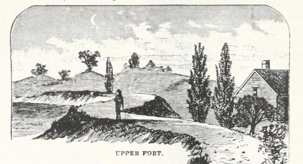
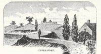
Roxbury Upper Fort
Black and white drawing of landscape and a single soldier standing in the middle. A building is on the right and trees are interspersed throughout. The words "upper fort" are capitalized on the bottom.
A drawing depicting the upper fort in Roxbury during the Revolutionary War. Image originally printed in Francis S. Drake's "The Town of Roxbury: Its memorable persons and places, its history and antiquities"
This image is used for the Luther Jotham (Patriot of Color) story map.
Image retrieved from Archive.org
Public domain
Image
Boston National Historical Park, Code: BOST
Boston National Historical Park, Suffolk County, Massachusetts
Latitude: 42.3734016418457, Longitude: -71.0557022094727
Latitude: 42.3734016418457, Longitude: -71.0557022094727
https://archive.org/details/townofroxburyits00drak/page/376/mode/2up
01/01/1878
01/01/0001
Public Can View
Organization: Boston National Historical Park
Wednesday, January 19, 2022 9:39:39 AM
Wednesday, January 19, 2022 9:44:50 AM
Roxbury Upper Fort.jpg
Monday, January 1, 0001 12:00:00 AM
jpg
180.3 kB
Historic